We both slept well at the Westgate Inn motel and after a simple continental breakfast in reception where we were regaled with tales of touring, recording and the finances of country music by the guy manning the desk we headed over to fuel for body and car at Subway and the garage respectively.
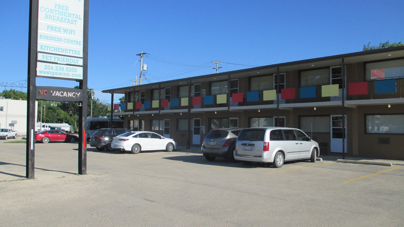 |
| Westgate Inn motel; Portage la Prairie |
Away From the TCH
Today was due to be a little over 300 miles along Highway 1 Trans Canada Highway but we both had a desire to get off the big duel carriageway it has become and decided to head South to St Claude and proceed West on Highway 2, a single carriageway passing close to small towns. Though not on the TCH, the lesser highway is fast with many straight sections heading directly East at 100 kph. Traffic density is minimal, though, by UK standards,so is the TCH.Big Things
Arriving at St Claude, we searched out it's claim to fame, the World's Largest Smoking Pipe! Expecting it on the main road we were puzzled not to see something of it and drove down a side street to find lovely houses with wide lawns and at the end a lake with grass and walkways. Just about to give up and go back to the highway we spotted it and took the obligatory photos.After last night's 'Coke Tin' and the 'World's Largest Smoking Pipe', we ignore the 'Largest Camel' at 23 feet high. We had intended visiting the 'Longest Swing Bridge' but failed to find it in the pretty town of Souris and with a long day ahead gave up and moved on.
 |
| World's Largest Smoking Pipe - St Claude |
Wide Skies and Big Fields
Heading East under a beautiful blue sky we drove past gorgeous flat fields of all shades of green and many rapeseed fields glowing yellow and an unidentified purple flowered crop. Apart from the crops we saw a few horses and many small groups of cattle.

Further on low hills appeared in the distance. The colour and the low hills combined to remind me of a beautiful English countryside landscape that had been stretched out in all directions. The field sizes are enormous.
 |
| Our car |
 |
| Long straight roads and massive fields |
Cattle and Grain
The groups of cattle we saw, which included many calves, were all in small groups making us think they could not be dairy or beef herds. This flat landscape encounters freezing conditions and vicious winds in winter which made no sense for cattle farming on any scale as it would be so expensive to house and feed over winter. Many of the gateways mention special breeds including Limousin, Charolais and Black Angus; our conclusion is that the area must specialise in breeding. Only the next year's breeding stock would need wintering and the spacious lush pasture would be great for healthy cattle.Grain silos, old and new, were a constant sight. The old ones like tall houses with bits hanging off are a traditional part of the landscape but date to when the grain was shifted by rail. Time moved on and the transport moved to trucks leaving many silos now derelict or demolished and sometimes the railway itself has gone leaving the silo in splendid isolation. The new ones, either steel or concrete are less evocative and sit in cleared areas next to roads.
 |
| Modern Silos |
 |
| Old Grain Silo; Railway dismantled |
A New Province and Time
We crossed over from Manitoba to Saskatchewan around lunchtime and experience the oddity of a time change without crossing a timezone boundary.Both provinces are in the Central timezone but Manitoba operates daylight saving time (CDT) in summer whereas Saskatchewan does not, remaining on Central Standard Time. The result was that once again were relived an hour which with such a large distance today was useful.Water and Oil
The irrigation of these vast areas is a puzzle; very few fields had frames or pumps but all were lush and green. Between fields there were a lot of creeks and occasional small lakes; also areas of marshland here and there. a: it must rain a lot and b: there's something else going on. We stopped briefly at a picnic site for a break where there was a large map of the Oak Lake Aquifer which probably answers the question; underground water over a large area.Having crossed from Manitoba into Saskatchewan we wonder how these areas gain enough tax money to maintain this vast network of roads for such a small population.One answer was apparent with the appearance of 'Nodding Donkey' oil pumps scattered among the crops.
 |
| Nodding Donkeys |
 |
| Highway 2 West |
Having turned North we stopped fora late lunch break by Kenosee Lake watching two Para Gliders enjoying what was now a strong wind. The surface of the lake was very choppy with the wind blowing across it and we parked facing the wind and sat on the tailgate to eat, well sheltered with a pleasant view.
 |
| Kenosee Lake |
North then West
Continuing North, the terrain had changed a great deal from the wide flat fields. Highway 9 ran alongside groves of Aspen and Birch trees surrounded by marsh and pools. We saw several beaver lodges and one solidly constructed beaver dam from our vehicle.A fascinating note about Aspen; these trees spread via their root structure and a clump of separate trees will have actually grown from a single origin. The result is that all the trees in the clump share a genetic makeup and in autumn will all turn colour at exactly the same time
Turning West onto Highway 48 and toward our goal, Regina, the land is undulating with slightly smaller fields and distinctly poorer crops. As we pass along these highways we we puzzled at the apparent absence of towns other than a few buildings on the edge of the road. We experiment a little with leaving the highway and discovered that these small towns, rather than straddling the highway build out in one direction away. Towns which appeared to just have a couple of ramshackle buildings we now realise often have wide streets of nice houses and even schools and hospitals only just off the road but hidden from it.
After one such diversion with 1:40 to our destination, we returned to the highway to find 00:35 minutes on the SatNav. No idea what went on but we were now only 30 mins away and arrived with 360 miles under our belt just after 4 pm.
Laundry and Food
A good day's driving and we are a lot happier than yesterday evening. Hotel has a guest use laundry room so we have caught up with washing and drying some clothes which will take us to the end of the trip. A good meal had at Perkins accompanied by a nice pint of Canadian draught lager. That was after walking a very contrived 15 mins crossing a wide highway several times only to find a direct less than 10 minute walk back; Doh!Today's Statistics
Statistics: Miles today: 360; Miles so far: 1939 ; Fuel added so far: 163.1litres, 35.9 gals; Provinces: Manitoba & Saskatchewan; Time Zone: UTC-5 Central Daylight Time (CDT) to UTC-5 Central Standard Time (CST)
No comments:
Post a Comment
We love your comments as it shows someone out there is reading it.
All comments are moderated so you won't see it immediately.
Thank you for stopping by, Lynne & Ged