Avoiding Highway 1
We chatted about the route and I volunteered to drive an extra hour to be able to go off route to hopefully more rewarding roads following Highway 1 for about 110 miles then striking off North to what sounded an interesting are before travelling West again to rejoin the Trans Canadian Highway at Calgary.We headed West from Medicine Hat across extraordinarily flat lands for miles. Largely rough prairie grasses which did seem to be harvested but not cultivated. Oil pumps were scattered about and pipe heads for natural gas. Sometimes there would be cattle spread about over large pastures; we saw one lonely enormous bull plodding across,it was massive with it's bulk rippling as it walked.
On the horizon a freight train made its way from once side of the panorama to the other looking like a toy. It must have been approaching 1/4 mile long.

I complained bitterly yesterday about the lack of rest stops on the TCH and someone apparently heard me as today there were several pull off lay byes and even a French autoroute style picnic area and toilets in a spotless building with a 3D model of the province.
On reaching the junction with Highway 56 after about 1.5 hours driving we turned North on good single carriageway road. This road was really pretty and an enjoyable drive; it was gently hilly and ran through lush green farmed pasture with occasional small lakes. The green was broken by the golden yellow of fields full of rapeseed; when these fields first appeared in the UK, I hated them thinking they spoiled the appearance of the countryside but years later I have embraced them and even think the add to the pleasing patchwork of our country.
Hoodoos and Dinosaurs
Around 45 miles North we suddenly descended into Red Deer River canyon.The canyon is a valley driven through as the glaciers collapsed and the sides show a mass of layers of different materials. The soil swells and becomes slimy when wet resulting in conical piles left as the water washes off and through. We turned East for about 10 km to where Hoodoos had formed. A Hoodoo forms when a hard stone has come to the top and provides a sort of umbrella changing the erosion pattern. The soil below the capstone is protected while the rest is washed away leaving pillars topped by stones; these are hoodoos and are seen in many places, the most extraordinary we have seen being Bryce Canyon in the US. We parked and spent around 20 mins exploring and viewing the hoodoos. It was very busy being a Sunday lots of locals were around with their children clambering all over the slopes. I couldn't quite decide whether the delicate soils should be more protected but lots of families were having fun. The current hoodoos were fenced and viewing platforms provided but creation of more it unlikely with such foot traffic.

Back West to rejoin the route we have no time to take in the Royal Tyrrell Museum at Drumheller where fossils from the area are collected and displayed. It even possible to take a bus out to where digs continue. Some of the largest dinosaur remains found lay in these soils and discoveries continue. A visit takes about 3 hours and we had 30 mins. We took in the Visitor Centre and asked about other things to see quickly and settled for Horseshoe Canyon which was on our route about 25 km further on.
We stopped by Horseshoe Canyon at a viewing point. The same terrain in which the hoodoos formed but in a deep valley,not overrun this time though there are pathways through it.
 |
| Horseshoe Canyon |
Passing Calgary
The sunny afternoon continued as we headed toward Calgary. Joining Highway 2 South we encountered our first 3 lane dual carriageway; just like a motorway back home and almost as busy. In the distance we eventually saw the tower blocks of Calgary centre before we joined the peripheral Highway and pasted around to the West once again joining Highway 1,Trans Canadian Highway.The traffic going towards the city was intense; being a Sunday around 4 PM we could only guess it was traffic returning from weekend trips to the Rocky Mountains area. Calgary is a massive city and from the ring road we say vast housing estates stretching miles from the city.
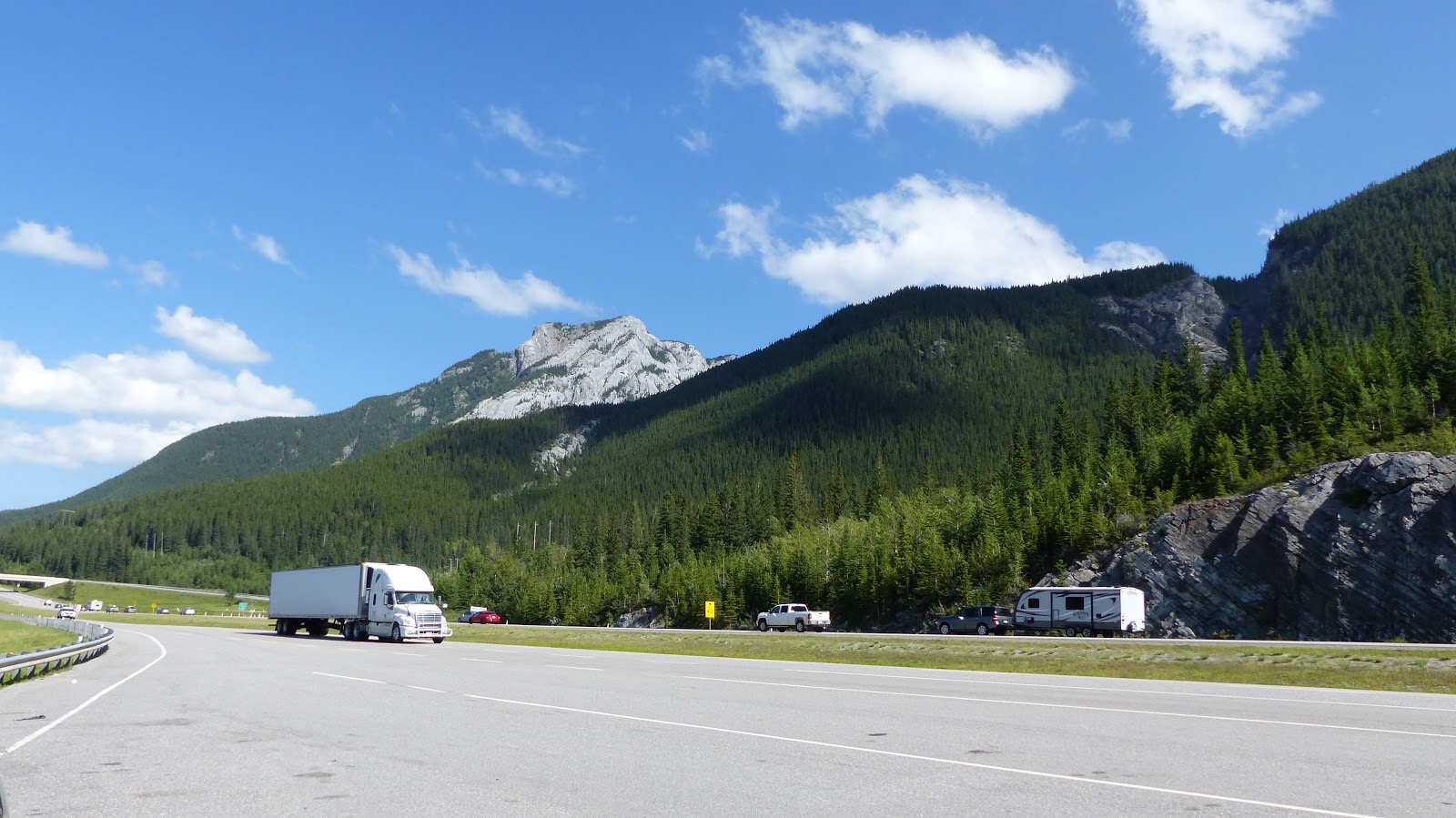
We could now see vague outlines of mountains in the far distance,about 60 miles away. Over the next hour they gradually became clearer. The terrain around us felt reminiscent of low alpine regions of France and Switzerland and we had the company of trees again after last seeing them in Western Ontario.
Arrival
With relief, we checked into our hotel in Canmore. We are now in the area that bookings were difficult and accommodations are full. Across the road,high jagged peaks look down on the town alight from a beautiful evening sun. Suddenly, the drive feels worthwhile again.Over the road to Safeway to buy in supplies for tomorrow evening and next door to the liquor shop for wine and beer. It seems really alien that you ca't by alcohol in a big supermarket.
World's Biggest
Two of them today.
 |
| World's Biggest Teepee; Medicine Hat |
 |
| World's Biggest Dinosaur - Drumheller |
Tomorrow we explore the Rockies so it's good night for now.
Today's Statistics
Statistics: Miles today: 308; Miles so far: 2550 ; Fuel added so far: 250.9 litres, 552 imp gals; Provinces: Alberta; Time Zone: UTC-6 Mountain Daylight Time (MDT)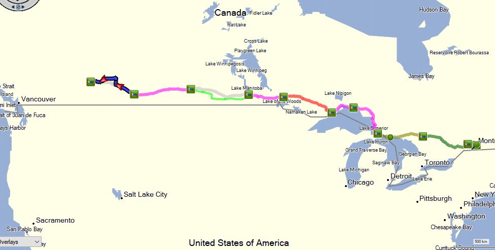 |
 |
| Day 10 close in |
finally up to date with reading - sounds like it's been a hard drive apart from a few man made "worlds largest", but looks like that is changing now with the landscape being more varied ?
ReplyDelete